Adversely affected historic resources in federally or state-funded projects require resolution through an agreement outlining mitigation efforts. Mitigation can involve design changes, context-sensitive designs, relocation, and detailed documentation (e.g., HABS and LIDAR scans). Unique alternatives include posters, brochures, manuals, kiosks, historical reports, and web-based StoryMaps.
McCormick Taylor’s Cultural Resources Department recently completed an ArcGIS StoryMap for the Pennsylvania Department of Transportation, Engineering District 12-0. The
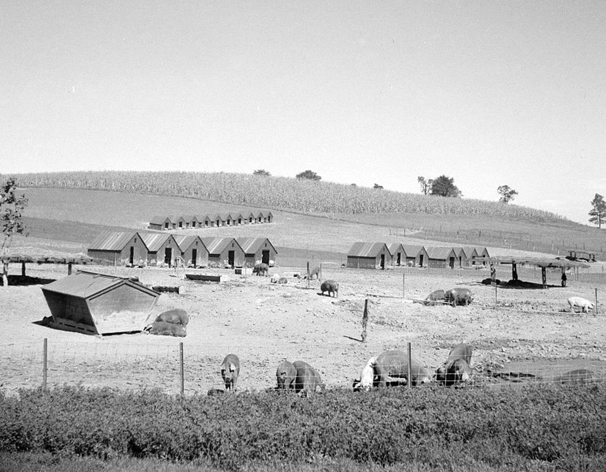
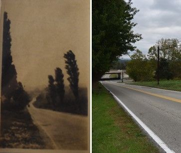
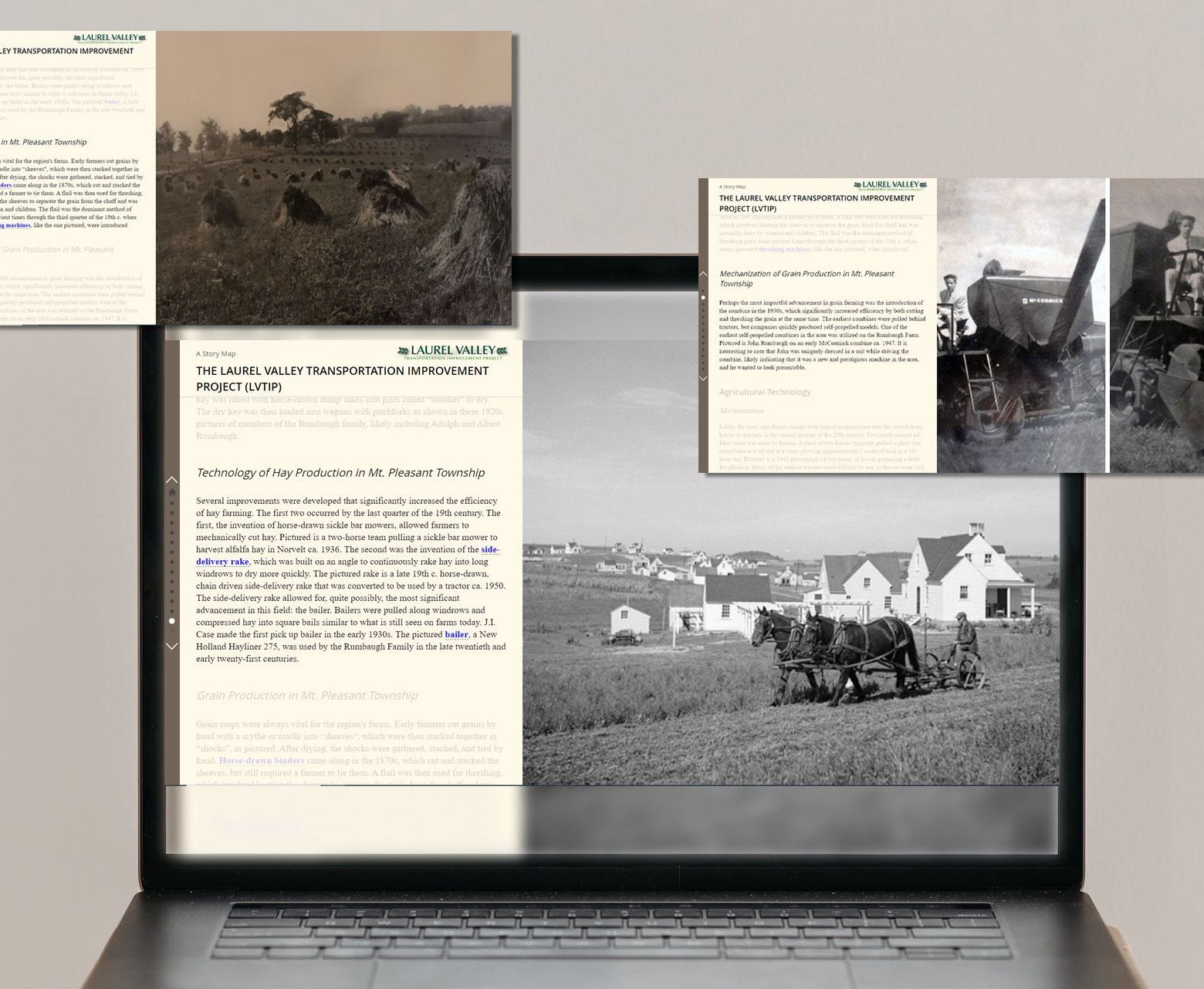
StoryMap was developed as part of the Laurel Valley Transportation Improvement Project, Section Q20. Cultural resources studies conducted during the project’s environmental clearance process identified adverse effects on several agricultural properties in Mt. Pleasant Township which were determined to be above-ground National Register of Historic Places (NRHP) eligible resources. The StoryMap serves as an alternative mitigation to the adverse effect and offers concise histories, historic photos, maps, documents, and artifacts for easy exploration of the agricultural history of Mt. Pleasant Township in Westmoreland County, PA for many years to come.
Explore the StoryMap here to see how it was used to capture the area’s agricultural history dating back as far as the 18th century.
For more information on McCormick Taylor’s Cultural Resources services, please contact Steven Barry at sebarry@mccormicktaylor.com or (717) 303-3862.