ROCKY & SMITH BRANCH WATERSHED ASSESSMENTS

COLUMBIA, SC

These watershed assessments and comprehensive watershed management plans were integral to developing a framework to achieve local watershed protection, develop restoration projects, and ensure that efforts built upon and complemented one another.

DESIGN, ENVIRONMENTAL, PLANNING & COMMUNICATIONS, PROGRAM MANAGEMENT , WATER

THE CHALLENGE

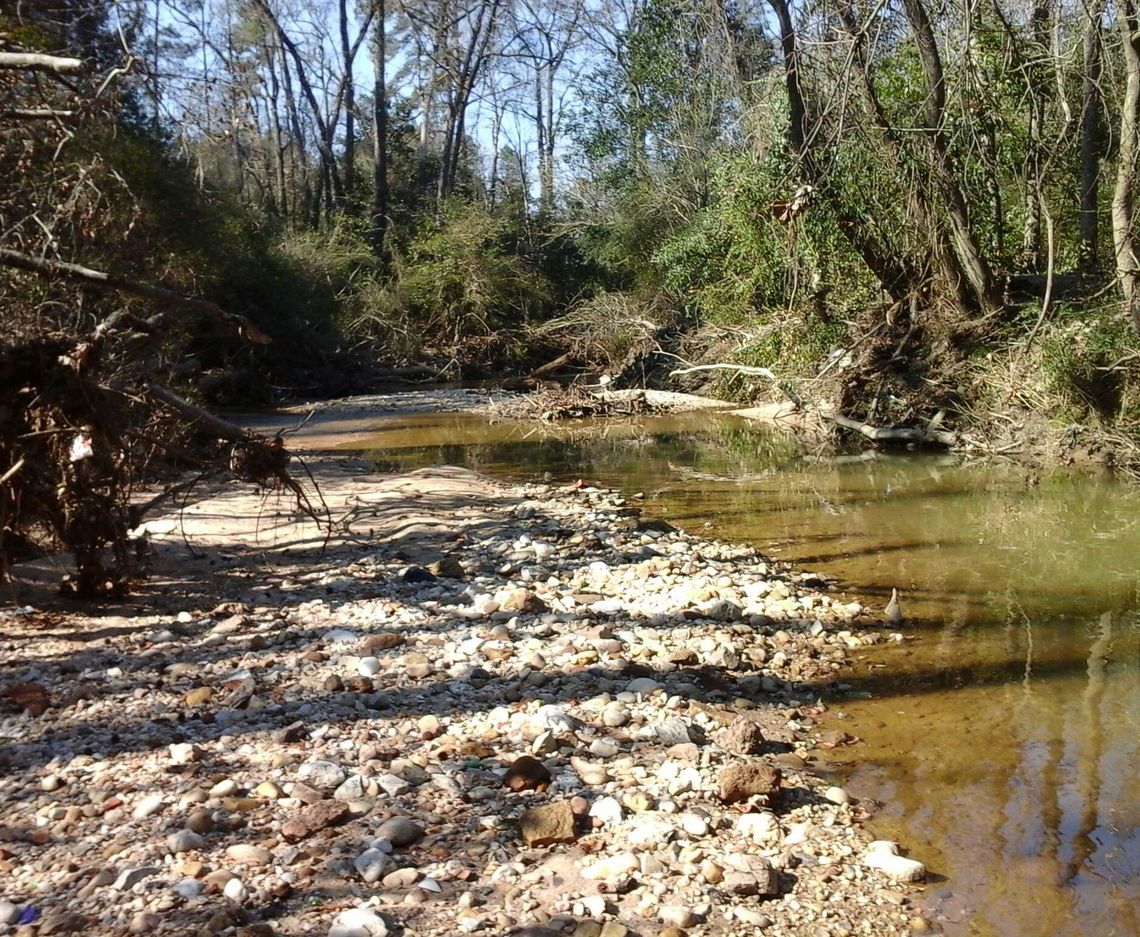
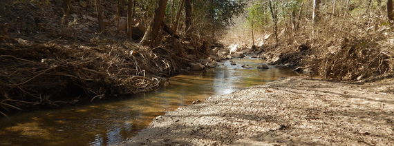
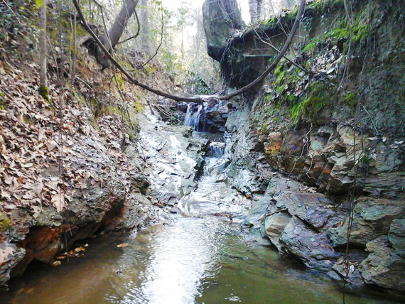
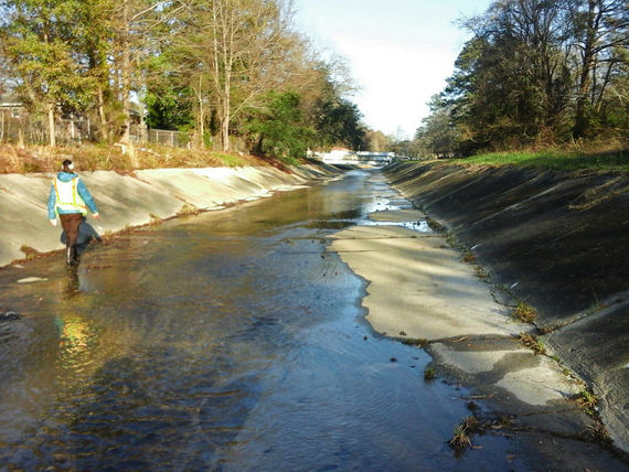
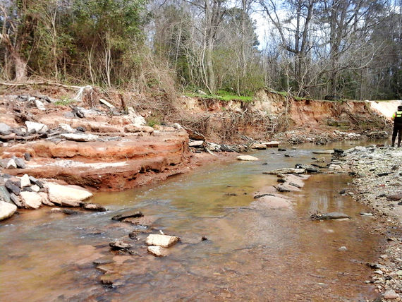
The high imperviousness of the Rocky Brach and Smith Branch watersheds, combined with minimal stormwater controls and undersized conveyances, create flooding conditions on a frequent basis.


Rocky Branch’s watershed, located primarily within the City of Columbia, flows through the Five Points District, Maxcy Gregg Park, State Fairgrounds, and the University of South Carolina, including a portion of the Williams-Brice Stadium for USC football and associated infrastructure, to the Congaree River.


Also located primarily within the City of Columbia, Smith Branch’s watershed flows through the northern area of the city including the Bull Street Development, Palmetto Health Richland medical complex, and residential areas along SC 277. The total imperviousness within the Smith Branch Watershed is 37 percent. That, combined with minimal stormwater controls and under-sized conveyances, frequently create flooding conditions. 

dscn2457

HOW WE HELPED

McCormick Taylor was responsible for:

  • Conducting intensive field reconnaissance and data collection of stream corridor geomorphic features, as well as site-specific investigations
  • Assessing feasibility and cost for a wide range of best management practices, environmental site design, and low impact development practices
  • Calibrating and modeling existing stream gages using EPA’s Stormwater Management Model

Through a collaborative effort with the non-profit watershed group Sustainable Midlands and the City of Columbia, a series of metrics were developed to score and rank each Rocky Branch sub-watershed. The drainage areas were ranked by existing conditions impairment, based on the metrics developed in response to observed watershed stressors. Capital improvement projects were identified in drainage areas with the greatest impairment.


A web-based data portal was developed and used throughout the project lifecycle, allowing all project stakeholders to view relevant datasets and results, as well as field staff to rapidly perform their field assessments. All project GIS data, including linked files such as photos, were stored in a geodatabase.

picture 2
picture 1
picture 3

RESULTS

Plans for both watersheds were submitted simultaneously under very tight schedules. Assimilating data, cruising over 20 miles of stream channel, assessing hydrology, identifying capital improvements projects, and developing final watershed reports were completed for both watersheds in just four months. We worked with Sustainable Midlands to provide solutions to safeguard community resources, supporting their efforts to encourage responsible growth, ensure access to local food, and establish a healthy environment for all Midlands communities.